December 28, 2020 - 880 views
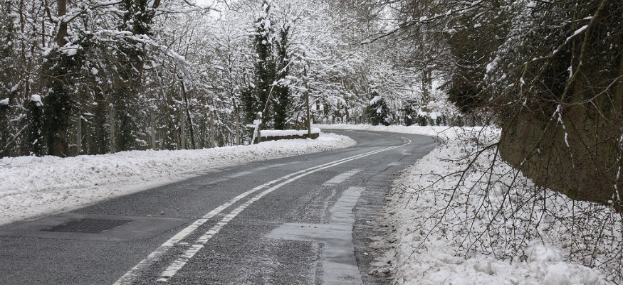
Further snow and ice can be expected across Wales during the next 24 hours according to the Met Office today.
This follows a light dusting of snow on high ground this morning which effected areas of high ground in the Conwy Valley and in parts of Denbighshire. Many woke to snow in Cheshire and the North West of England.
The warning which applies to Monday evening into Tuesday could see snow and ice further impact on the area and temperatures down to as low as minus one in some parts overnight.
However for the majority of areas in North Wales, sleet showers, rain and a gentle breeze will be experienced for most with temperatures around 3 degrees celcius.
Tonight:
A largely dry evening, though continuing showers are likely for western coasts. Going overnight, scattered showers are possible for most areas, wintry at times. Widespread frost and icy patches likely. Minimum temperature -2 °C.
Tuesday:
A frosty start for eastern areas, remaining largely dry all day. Western coasts likely to see showers, heavy and wintry at times, throughout. Feeling cold. Maximum temperature 7 °C.
Outlook for Wednesday to Friday:
Largely dry for Wednesday, but some wintry coastal showers likely for Thursday. Patchy wintry showers possible for New Years' Day. Feeling cold, with further overnight patches of frost and ice.